FloodRISE
The FloodRISE project was funded by a grant from the NSF Hazard-SEES program to research the potential for metric resolution flood hazard simulations to enhance flood risk management. Advances in remote sensing, flood simulation algorithms, and computational power now makes it possible to simulate flooding at fine scales comparable to how people experience flooding, and there is a pressing need for new knowledge about the ways that these simulations can enhance flood risk management (e.g., through mitigation, planning, preparedness, early warming, emergency response, recovery) and thus help communities become less vulnerable to flooding disasters.
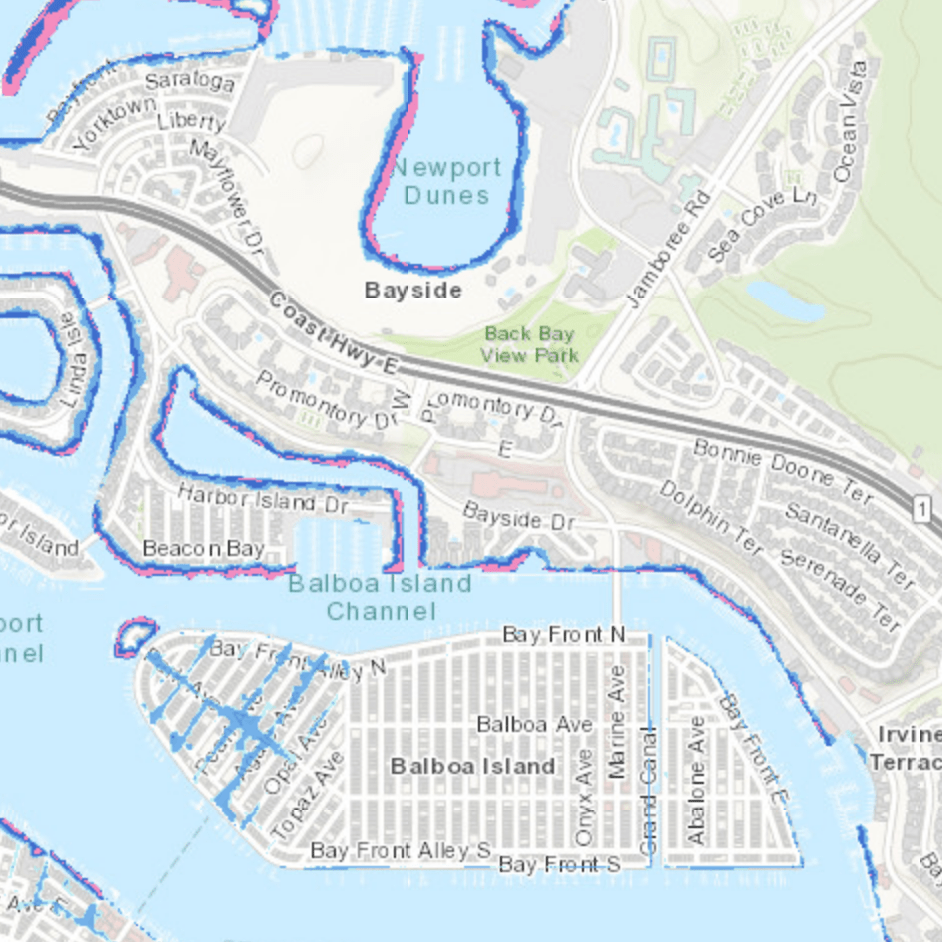
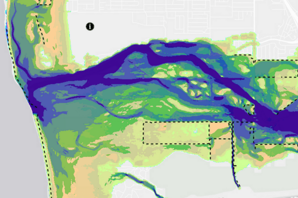
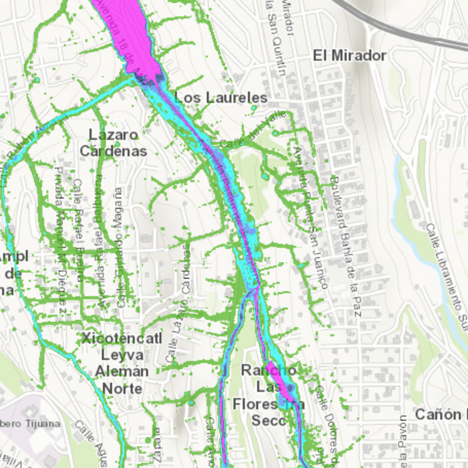
Under FloodRISE, an interdisciplinary research team worked with stakeholders in three communities affected by different types of flooding (e.g., coastal, fluvial, pluvial) to co-develop sets of flood hazard visualizations that are responsive to local decision-making needs. Stakeholder engagement was iterative and involved meetings with authorities, household surveys, focus group meetings and training sessions. The coproduced flood hazard maps are available via on-line flood hazard viewers.
Visit the links below to explore the interactive Flood Hazard Viewer for each site. To view mapping methodology for Goat Canyon and Tijuana River Valley, click HERE.


