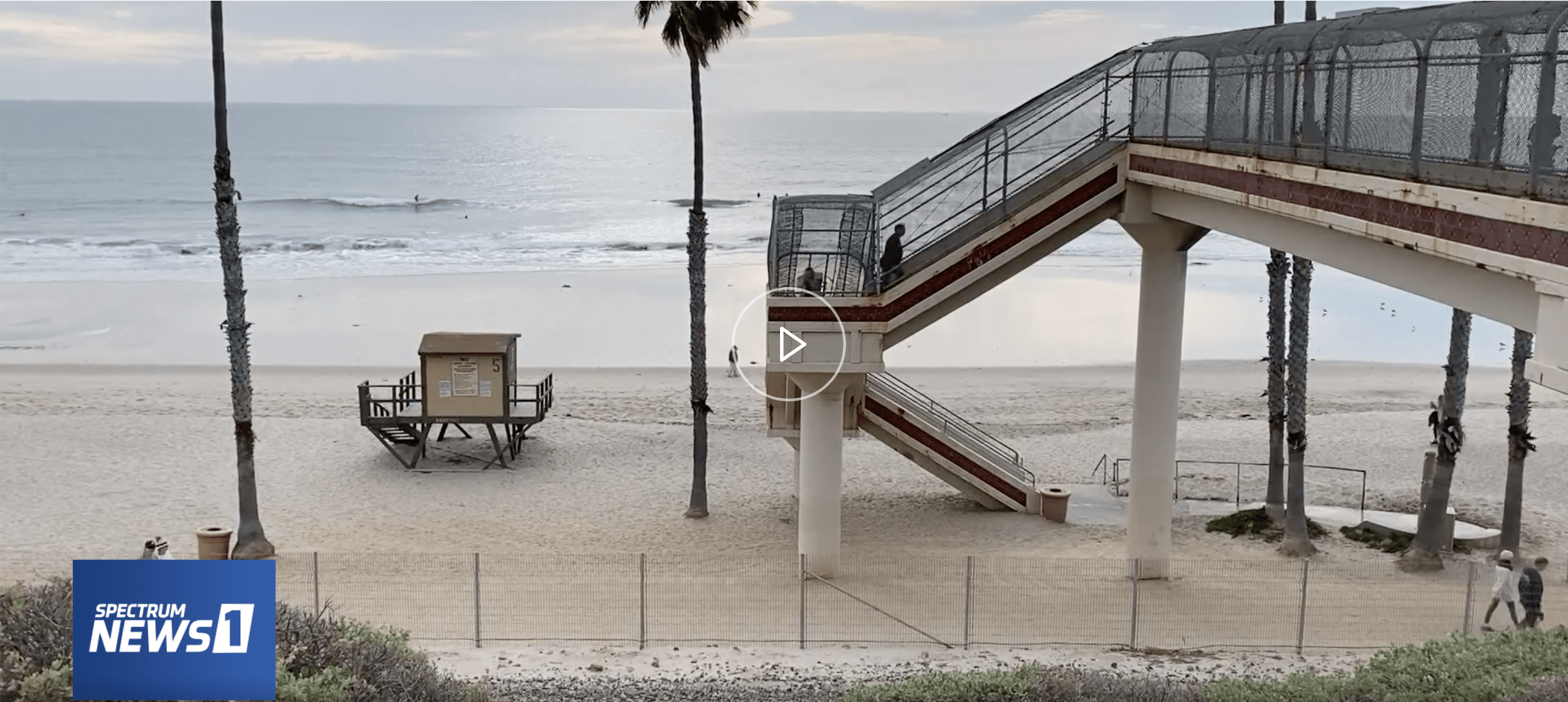
Professor Brett Sanders, who leads the Blum Center’s research on flooding and community vulnerabilities, was recently interviewed by Spectrum News 1.
“Sanders […] walked on the other end of the project recently at Linda Lane. He noted that the city’s project is a good start. ‘But it’s only one piece of the puzzle,’ he added. ‘What we need to be thinking about is the entire Southern California coastline from San Diego up to Santa Barbara and thinking about how we restore natural supplies to the coast.’ … ‘So the question is, what is the long term plan? And we’re going to need more projects like this,’ he said.”
As scientists continue to build and hone models that predict trends in wave power and coastal erosion, it is key to track coastal changes and risks–and to keep the public informed. Sanders does that through the Metropolitan Beaches Project, which posts maps and pictures of the coastline and identifies areas of high risk.
For more information on the latest science, see the Metropolitan Beaches Project website or watch the Spectrum News 1 interview with with journalist Jo Kwon.

